Mt Olympus
Wednesday, September 14th, 2011
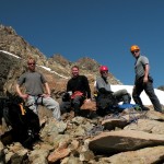
Last week I met a bunch of friends to hike/climb Mt. Olympus.
This is one of the least climbed peaks in northwest; simply due to it’s remote location. It was a two day hike in and another two out. Before we could even start, there was a several hour drive to drop off our cars at Sol Duc (where we would exit) and then a several hour shuttle to the rain forest entrance on the Hoh river.
For more photos and better prose, be sure to check out:
- Scott’s entry on his blog
- Scott’s Picasa page (with lots of photos from all 6 travelers)
 Day 1
Day 1
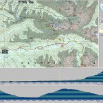
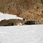
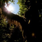
Despite the heavy gear, the first day was easy. From the entrance, we quickly made the 9 miles. The trail head was full of people, but this quickly changed. After the first mile, we only encountered a few people. There was also very little elevation gain to reach our campsite near the ranger station.
Day 2
From the ranger station, the trail thinned a bit and began to gradually roll uphill. After crossing the bridge, it was all uphill. However, most of the trail is well maintained and easy to follow.
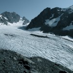
The one exception was a spot where the trail was completely washed out – requiring a few hundred feet of down climbing. Ropes and a timber/wire ladder had been set up, but it still slowed everything down for our large group. The saving grace at this point was the view. I decided to go last and thus had a time for a long break to enjoy the first good view of the mountain.
Before reaching camp at Glacier Meadows, we stopped for a long, refreshing swim across Elk Lake.
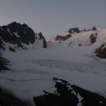
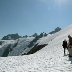
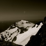
After dinner, I took a solo hike up to the terminal moraine to get a first glimpse of Blue Glacier. I was blown away. It is the largest glacier in the continental US and it is backed by tall snow-capped peaks. It was simply stunning.
Day 3
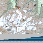
We woke up early, but not too early. The ranger had informed us that the freeze level was well above 10,000′ … so the snow was not going to firm up over night. Rather then going to the Terminal Moraine, the climbing route crosses several snow slopes to reach the Lateral Moraine. From there, the path dives back down to the glacier.
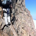
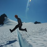
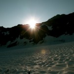
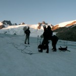
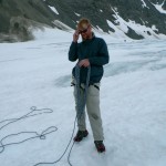
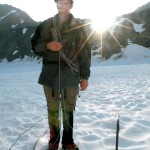
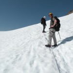
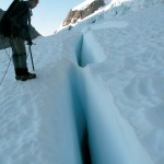
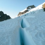
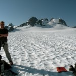
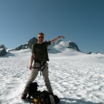
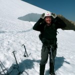
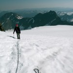
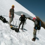
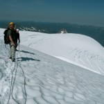
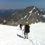
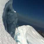
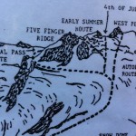
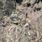
The 4 of us that were climbing roped together a on the glacier and headed off. It was light by that point, but the sun did not crest until we reached the other side and started climbing to snow dome. On top of snow dome, we rested and argued the route for a bit before proceeding around to Crystal Pass – this was the right choice (not mine :) – the more direct routes would have crossed large crevasses.
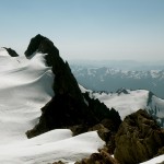
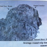
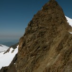
A few hours later, we were sitting of the summit block. West peak was just beyond. Unfortunatly, we had misread/misheard the final climbing direction. The real climb is supposed to be a class 4 scramble up an exposed side… Both Bryan and I, attempted to climb the most exposed side, but backed out as things became exceedingly dangerous.
On our way back to summit block, I identified the correct route, but we were all too tired to make a second attempt. We still had a long way to go to get back to camp.
At least I now have a good reason to return.
Day 4
This was by far the most difficult day – much harder then the climb itself.
From the camp we dropped back down 4000′ to the Hoh river and then climbed nearly 5000′ up the opposite ridge line to Hoh lake. It was a beautiful hike, but I was far too tired to really care.
Day 5
From Hoh lake, it was a short climb to the crest and then 8 miles of downhill to the car.
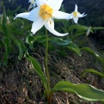
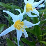
The forest in this section is actually some of the best. We crossed fields of wildflower and several waterfalls. Wildlife was about, including a bear which we admired from afar. It almost made the previous day’s climb worthwhile – almost …

